

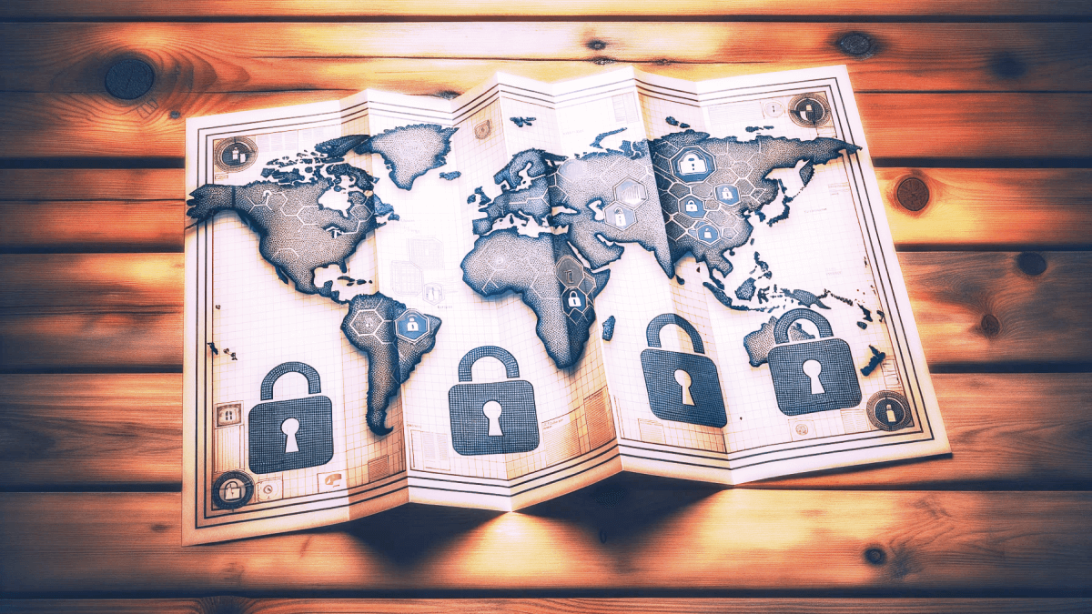
Navigating the digital globe doesn’t mean you should be an open book. Many of us instinctively reach for mainstream map services without a second thought, forgetting they often track our movements and collect data. But what if you could find your way around the world without leaving a breadcrumb trail of personal information? That’s not a rhetorical question—there are actually several solid alternatives out there that value your privacy.
Before you think this is a trade-off between functionality and privacy, let’s get one thing straight: these privacy-friendly world maps offer more than just a basic layout of continents and countries. We’re talking real-time traffic updates, point-of-interest reviews, and intuitive interfaces. And yes, they do this all without rifling through your data like it’s a garage sale.
Why does this matter? Because the little conveniences we take for granted—like finding the closest gas station or café—don’t need to come at the cost of our digital autonomy. In this article, we’ve rounded up the best options for privacy-friendly world maps that let you explore the planet securely. You’ll leave here equipped to make an informed decision and maybe, just maybe, you’ll change your go-to map app to one that treats you like a human being, not a data point.
OpenStreetMap
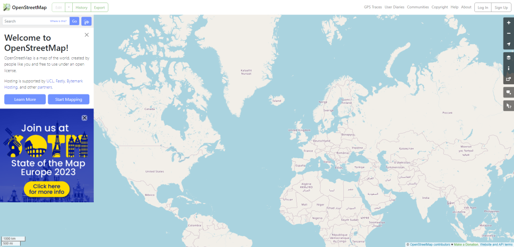
OpenStreetMap (OSM) is more than just a free alternative to popular mapping services; it’s a collaborative platform that puts user contributions front and center. Think of it as the Wikipedia of maps. Community members—from amateur cartographers to GIS professionals—constantly update the maps to reflect changes in real-world landscapes. This means you’re not just consuming information but can also actively contribute to the accuracy and richness of the map data.
Where it really sets itself apart is its commitment to open data and privacy. Unlike some mainstream map providers, OSM doesn’t track your every move. The platform is built on the ethos that geographic information should be freely accessible to everyone, allowing for more diverse usage beyond just finding directions. Developers can pull this data for a range of applications, from humanitarian projects to custom navigation solutions, without running into licensing issues.
So, why should you consider making the switch to OpenStreetMap? First off, you gain more control over your data. Your whereabouts aren’t commodified and sold to advertisers. Second, you become part of a vibrant community that actively improves the tool for everyone’s benefit. Whether you’re a casual user looking to find your way around town, or a developer seeking a robust and ethical map platform, OpenStreetMap offers a compelling, privacy-focused alternative.
OsmAnd
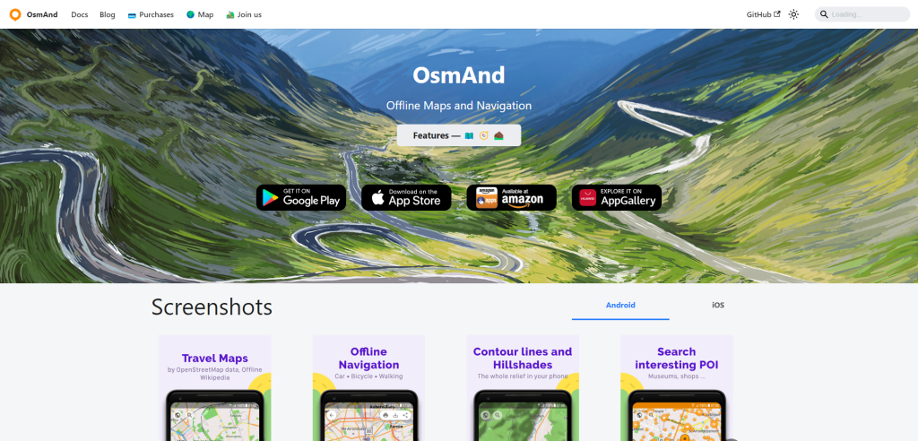
OsmAnd is an offshoot of OpenStreetMap that takes mobile map usage to the next level, especially for those concerned about privacy and data control. Unlike many mainstream map apps that come pre-loaded on your device, OsmAnd allows you to download maps for offline use. This means you’re not continuously pinging a server, reducing data consumption and the chances of being tracked. While being offline, you can still enjoy a full range of features like turn-by-turn navigation, real-time traffic updates, and point-of-interest searches.
One standout feature is the app’s flexibility in customization. Users can tweak everything from map styles and types of data displayed to route preferences. It’s not a one-size-fits-all kind of tool; you have the power to make it suit your specific needs. Moreover, OsmAnd has plugins for specialized tasks, such as trip recording, nautical navigation, and even skiing maps. These add-ons make the app versatile for a wide range of outdoor and navigational activities.
Why should OsmAnd be on your radar? Well, for starters, it’s a powerful tool that places privacy at its core. You’re not trading features for security; you’re getting both. Secondly, the app’s community-driven model ensures constant updates and improvements. The extensive customization options and specialized plugins also mean you’re not just using a map; you’re using a navigation tool designed for your lifestyle. If you’re someone who values both utility and privacy, OsmAnd is worth a serious look.
Organic Maps
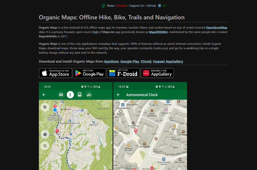
Organic Maps isn’t just another map app; it’s tailored for those who value both functionality and privacy. Developed as an open-source fork of the Maps.me app by the same original creators, Organic Maps offers comprehensive offline capabilities that you won’t find in many other apps. Whether you’re a traveler, tourist, hiker, or cyclist, this app lets you download maps and hit the road without an active Internet connection. In fact, you can “throw away your SIM card,” according to their bold claim, and go on a weeklong trip without sending any data to the network.
One of the standout features here is complete offline functionality with a full feature set. From contour lines and elevation profiles to voice-guided navigation for walking, cycling, and driving, the app does it all without requiring an internet connection. It also supports multiple file formats like KML, KMZ, and GPX for bookmarks and tracks. The app even includes thoughtful extras like a Dark Mode to protect your eyes and ensures that map data doesn’t hog your device’s storage space.
Why choose Organic Maps? The answer is straightforward: it’s purely organic in its approach to user data and privacy. The application has been verified by both Exodus Privacy Project and TrackerControl for iOS, proving its commitment to safeguard your information. It explicitly states that it collects no data, imposes no ads, and offers no “crapware.”
For funding, Organic Maps relies on donations and ethical sponsorship, like the 400 TB/month of free bandwidth provided by Mythic Beasts ISP. If you’re keen on rejecting surveillance and embracing freedom, Organic Maps not only speaks your language but walks the talk.
Protomaps
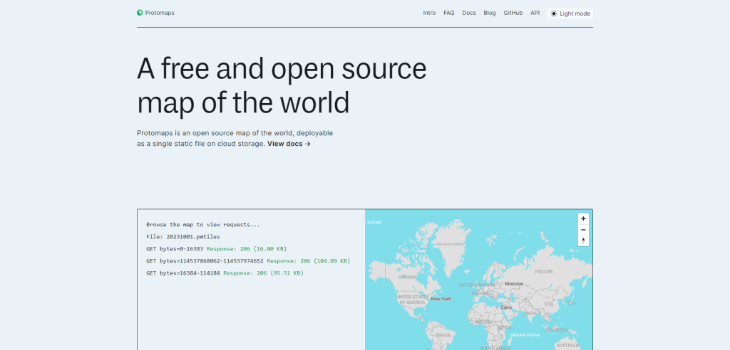
Protomaps is an open-source tool that offers a different way to map the world. It’s not just any regular map, but one that’s deployable as a single static file on cloud storage. This is super neat because it means you can host and use this map without a ton of overhead.
The cool thing is, it uses PMTiles format. What is PMTiles? It’s a specification for single-file tile pyramids. Without diving too deep, it’s designed for efficient and effective map data storage and access. One of the strengths of PMTiles is its ability to work with HTTP Range Requests. So, when you’re pulling data, it’s more efficient and flexible.
Now, if you’re thinking of performance, Protomaps has your back. It can be delivered via CDN networks like AWS Cloudfront and Cloudflare. This means faster load times and happier users! And if you’re a frontend developer, you’ll appreciate that it has excellent compatibility with mapping libraries like Leaflet and MapLibre GL. So, integrating and visualizing geodata becomes a breeze.
Summary
So, there you have it. Privacy isn’t just a buzzword; it’s a right that extends to all facets of your digital life, including how you navigate the world. With the map options we’ve explored, you can take back control of your location data without skimping on features. Each of these alternatives brings something valuable to the table—be it user-friendly design, extensive details, or real-time updates—all while maintaining a strong commitment to privacy.
Switching to a privacy-friendly map service doesn’t have to be a hassle. Consider it an investment in your personal data security. After all, if you can get from point A to point B without compromising your privacy, why settle for anything less? The tools are here, the choice is clear, and the power to make that change lies with you.